
Groton Neighbors in Three Record Layers
Groton block research works best when each source has a narrow role. GIS and assessment layers tie an address to a parcel. The SOTS public lookup answers individual status, not a block roster; its live fields were not inspected after WAF blocking. Groton registrars at 61 Fort Hill Road, 860-441-6650, post Thursday-Friday 8:30-4 and Tuesday 5-7 hours. A card supports a trail, not occupancy. Focus on adjacent parcels and community context. Whole-street work is separate; one-person questions need verification.
| Source | What It Shows About a Block | Access |
|---|---|---|
| Groton GIS parcel and address layers | Adjacent parcels, address points, owner and mailing fields, not a certified abutter list. | Town GIS and ArcGIS services |
| Groton assessment property cards | Situs, assessment owner, mailing address, parcel ID, district, deed book/page, and property facts. | Assessor page and card |
| Connecticut voter registration system | Individual status and registration fields when available, not a named block list. | SOTS lookup, registrars, or $300 file request |
| Census2020 geography | Block or block-group boundaries and anonymous population context. | Town GIS service |
| Groton Long Point Association | Governance, committees, and the GLP landowner membership rule. | GLPA pages and office |
Three layers answer different questions. The parcel layer draws the polygon and ties it to assessment. The voter layer is person-and-status; a missing result may reflect privacy protection. The community layer is selective: GLPA documents governance, but no comparable public roster was found for many Groton areas. Owner, mailing, and occupant are not interchangeable. An owner may be a trustee, LLC, or public entity. A mailing address may sit elsewhere. An occupant may never appear.
| Layer | Useful block clue | Boundary |
|---|---|---|
| Parcel and assessment | Connects a situs to an assessment owner and card. | Does not prove occupancy, title, or a survey line. |
| Voter status | May confirm an individual registration record and election fields. | Not a complete roster; protected records may be absent. |
| Community and Census | Adds governance or anonymous statistical geography. | Does not disclose a named household list. |
Note: A Groton block map is a research aid, not proof of title, occupancy, or legal adjacency.
Map a Groton Block from One Address
Start with one known situs address, not a guessed name. The Groton GIS FAQ says the viewer searches Owner Name, Address, Street, Parcel ID, or Parcel ID by Parcel Boundary. A result zooms the map and offers Picture, Sketch, Tax Map, and Property Card links. For block work, preserve the address, inspect parcel geometry, then inspect adjacent records. AddressingOwnerPoints may represent a known address or condo unit near a building. AddressingParcels supplies geometry and the relationship to those points.
- Search the official Groton GIS page by address, street, or parcel ID. Keep street form, unit, direction, and ZIP.
- Select the result and turn on parcel boundaries plus owner or annotation. A point inside a building is not a legal lot corner.
- Move to each touching polygon. Record PARID or OBJECTID, situs, OWN1 or OWN2, care-of, and mailing city, state, and ZIP.
- Open the property card. Compare owner, mailing address, district, use code, deed book/page, and assessment fields. Verify mismatches.
- For an abutter notice or boundary question, ask the custodian whether a certified list, buffer, mailing list, or survey is required.
Map adjacency is useful, not a legal certificate. Water, roads, condominium layouts, easements, irregular parcels, or layer dates can change the answer. The official abutter quick-start route was identified, but its current field order, buffer distance, export format, and fee were not confirmed. Do not publish a generated list as Town-certified. For every address on a named road, use the Groton street directory path.
The Groton AddressingParcels layer shows the parcel geometry for this review.
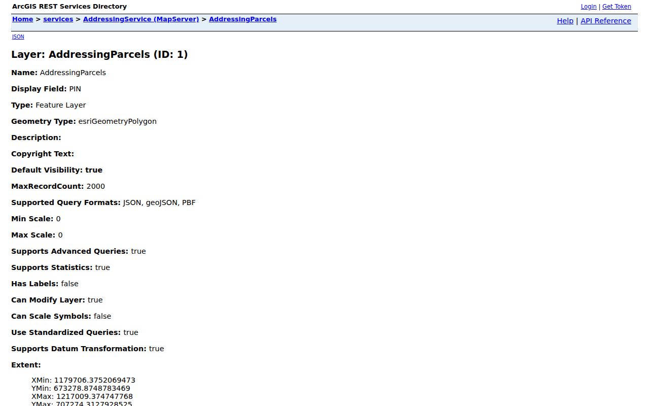
It separates the parcel from its address point and owner field.
Groton Neighbor Map Layers
Groton's GIS services expose distinct address and parcel fields. The address-point layer carries PROPERTY_LOCATION, OWN1, OWN2, CAREOF, ADDR1, CITYNAME, STATECODE, ZIP1, TRIMID, FULL_PIN, and geometry. EnerGov's parcel layer uses PARID, owner and mailing fields, TRIMID, geometry, length, and area. These fields keep address point, parcel, and mailing record separate. They do not turn a query into a household export. Inspected layers have a 2,000-record maximum, so do not publish a bulk extract simply because export exists.
- Address point
- A known address location that may represent a unit near or inside a building.
- Parcel polygon
- A mapped shape tied to parcel data, not an exact survey or title proof.
- Situs
- The parcel's physical location, separate from its mailing address.
- District or neighborhood
- A Town classification such as Groton Long Point, Old Mystic, or Mystic, not a municipality.
If fields disagree, keep both values and the source date. A parcel can have a Groton municipality, Mystic postal label, and another mailing address. Keep differences visible.
Groton Neighbor Records: Owner and Mailing Myth
An owner field is not a current resident field. Groton cards show why. 35 Prospect has a trustee pair; 5 Pearl has an LLC with an Oxford mailing address; 0 Marcel's exempt card uses Town or open-space and a Fort Hill Road mailing address. A card can describe an assessment account or public parcel without identifying a household. Situs is physical; mailing address is for correspondence. Neither proves occupancy.
The card's deed book/page leads to the Groton Town Clerk, not a certified title conclusion. Groton RecordHub identifies the Town Clerk at 45 Fort Hill Road, phone 860-441-6642, and townclerk@groton-ct.gov. Public information says most documents allow index/image viewing; purchased downloads remove a watermark. An unauthenticated search was login-gated, so exact fields, filters, exports, and free-versus-paid behavior remain a gap. Verify a deed with the custodian.
Note: The Town Clerk reports online land records from 1962-present, while the GIS quick-start note says deeds before approximately 1940 are not digitized; ask about index, scan, or paper-book access for 1940-1961.
Groton GIS Timing for Neighbor Research
Groton's GIS and permit layers refresh at different times. The GIS page states ownership was current to July 13, 2026, assessment data was the 2025 Grand List published February 2, 2026, sketches were updated February 2026, and aerial imagery was March 2023. The FAQ separately says planimetric layers were captured every ten years, the latest flight was April 2020, and CAMA may trail the Grand List by weeks. Save the capture date: a nearby parcel may look unchanged while its owner or assessment detail is on another cycle.
The EnerGov or CSS layer adds another clue. Town materials say records after July 2023 are in the system; older records may be absent. Public Search covers permits, plans, inspections, code cases, requests, and licenses; Map can use an address for permitting history or an application. Live fields and result columns were not rendered. Multiple 0 Elm St results are known, so choose the parcel with the correct owner. These are administrative records, not an occupant list.
The Groton EnerGov MapServer is the public service behind the district and parcel context shown here.
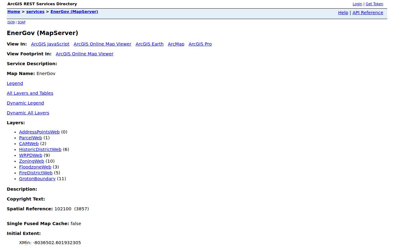
EnerGov adds permit context, but an old absence is not complete history.
Note: Groton GIS and CSS refresh cycles differ, so save capture dates before comparing nearby parcel results.
The Groton Long Point Association Record
Community groups are a third layer, not substitutes for parcel or voter records. Groton Long Point Association is the clearest public example. Its charter was incorporated by the Connecticut General Assembly in 1921, and all landowners in GLP are members. Governance includes a President, Vice President, Treasurer, Clerk, five Directors, and committees for water, conservation, planning, and local facilities. It shows community structure, not a household list.
Groton Long Point Association
Office: 44 Beach Road, PO Box 3737
860-536-4736
Office page, Monday through Friday, 9 to 3
office@glpct.org
Governance: President, Vice President, Treasurer, Clerk, and five Directors.
The Groton Long Point Association public site is the source for the community-facing layer represented in the image below.
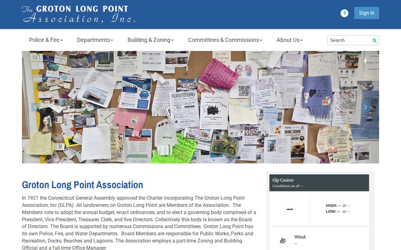
It supplies governance and contact context, not a resident roster.
Named no-roster gap: No comparable official public member directory was located for Noank, Mystic, or other Groton associations. Fire-district membership is not a household list. Do not fill the gap with guesses.
Groton Neighbor Tools: Official Versus Paid
Commercial neighbor tools may combine copied public data. For a Groton block, official records keep the source and date visible, while a paid result is only a lead.
| Source category | Strength | Limit |
|---|---|---|
| Town GIS and property card | Local situs, parcel, owner or mailing fields, and data date | Not proof of occupancy, title, or a complete roster |
| Town Clerk land record | Recorded instrument, book/page, parties, and legal trail | Access window, copies, and older paper records vary |
| Paid commercial neighbor tool | Several public-source copies in one interface | Source date, correction path, cost, and lawful-use terms may be unclear |
The useful comparison is about provenance, not volume. Start with the local layer that answers the narrow question, record its date and access condition, and treat any consolidated result as a lead that must be checked against the originating office.
Census Context for Groton Neighbors
Census2020 helps when the question is geographic, not personal. Groton's GIS service exposes official 2020 boundary layers. A block or block group can show neighborhood scale or a statistical boundary, but it cannot disclose names. Census data is anonymous by design, so do not combine it with owner or voter fields to infer a household member. The same caution applies when a block crosses a road, district, or postal place.
Use the census layer beside parcel geography. Parcel polygons follow local mapping; Census boundaries follow federal statistical units. A Groton neighborhood can have a community name, Town district, USPS city label, and Census block that do not share one edge. The safe result is a geography note. Record the layer and date.
Privacy Limits on a Groton Neighbor Lookup
A neighbor lookup has a public-record boundary. The assessment owner field is not an occupant roll. A mailing contact may be elsewhere; an address point may represent a unit near a building. Do not add household members, contacts, inferred relatives, or sensitive identifiers. If a source is login-gated, paid, or purpose-limited, use the custodian's route. The $300 SOTS full-file request is limited to authorized election-related, scholarly, journalistic, political, or governmental uses, not a personal roster.
Connecticut has specific address-protection paths. The SOTS voter privacy program allows a sworn statement under CGS § 9-50(d) when disclosure endangers a voter or family; it covers the official voter registry only. The Address Confidentiality Program, Safe at Home can provide a substitute post-office box and fictitious Hartford address for eligible participants and protect specified voter and marriage records, but it is not a universal deletion from GIS, land records, newspapers, or every municipal database. Connecticut FOI guidance also allows redaction for specified public employees, judges, law-enforcement personnel, and others. Do not reconstruct a protected address from another layer.
Lawful personal use. Groton neighbor records can support neighborhood context, family or classmate reconnection, and personal safety awareness. Never use a name, parcel, or address to stalk, harass, intimidate, impersonate, or harm anyone.